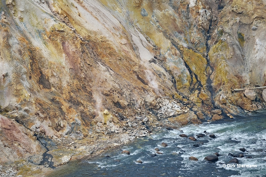
Grand Canyon Geyser Basin
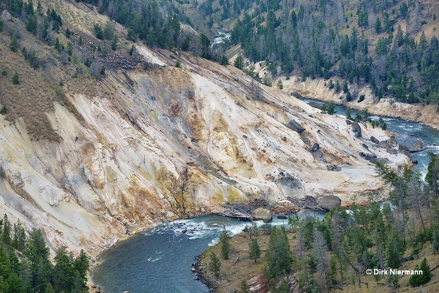
The Grand Canyon of the Yellowstone does not only impress with its length of 38 km (24 miles) and a maximum depth of 360 m (1200 feet), but even more with its amazing play of colors. The colors in the range of yellow through pink can mostly be attributed to formation of iron oxides by hydrothermal alteration of rhyolitic rock. Approximately 590,000 years ago these rocks were deposited as lava by the Canyon Rhyolite Flow and subsequently eroded by a combination of muddy water, hot steam and gases, earthquakes, icing, and other natural forces. There are some locations in the canyon, where the hydrothermal influence is particularly evident. Downstream of the Lower Falls the canyon cuts through a buried primeval geyser basin at and above the level of Yellowstone River.
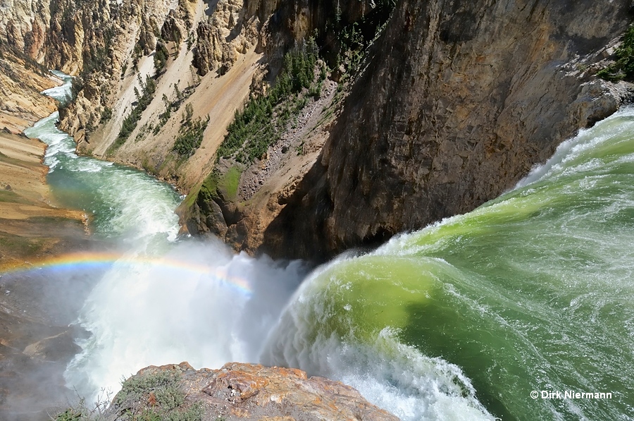
Even today many hot springs and also geysers line the steep river bank, and some are to be found in the river bed. Just as the depths of the canyon everywhere else, these thermal areas are closed to the public and would otherwise also be hard to reach. As the only exception to this rule within the canyon area, the Seven Mile Hole Trail (see below) provides a direct access to the river and to some thermal features.
The vantage platform on the brink of the Lower Falls offers a view at several hot springs. On cold days they are easily recognizable by their steam plumes, or otherwise by the rusty orange runoffs. A group of small hot springs sits on the right (southeast) riverbank quite close to the foot of Lower Falls and downslope of Uncle Tom's Trail. According to T. Scott Bryan some of them are named, such as Fairy Geyser, Watermelon Geyser, and Tom Thumb Geyser. Despite their names all are perpetual spouters and no geysers. When the Yellowstone River runs high as to be seen in the first photo on this page, they may be submerged or spray may impede the view from the observation platform at Lower Falls. Then they are better recognizable from Red Rock Point.
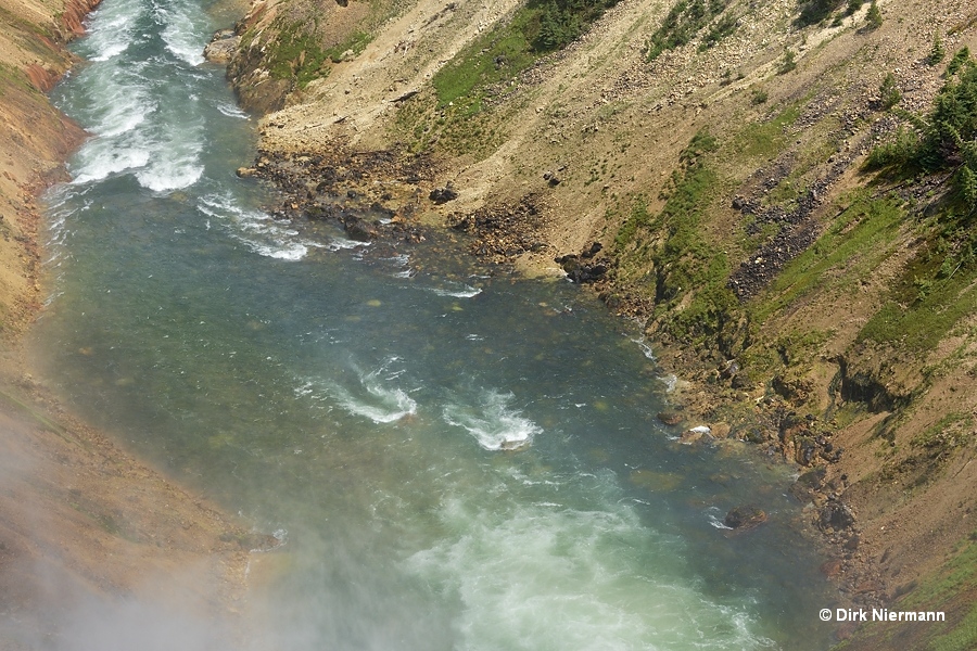
High on the left (northern) canyon wall, opposite of the Lower Falls viewing platform, the aptly named Red Rock graces the canyon. Directly downslope of Red Rock Point the up to 4.5 m (15 feet) high spouting Red Rock Geyser was to be found. It was observed for the last time in 1991.
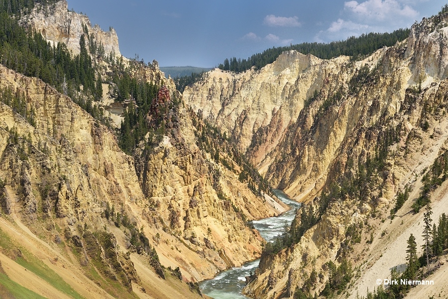
Another great viewpoint for the Lower Falls section of the Grand Canyon Geyser Basin is the above already mentioned, steep Uncle Tom's Trail at the south rim.
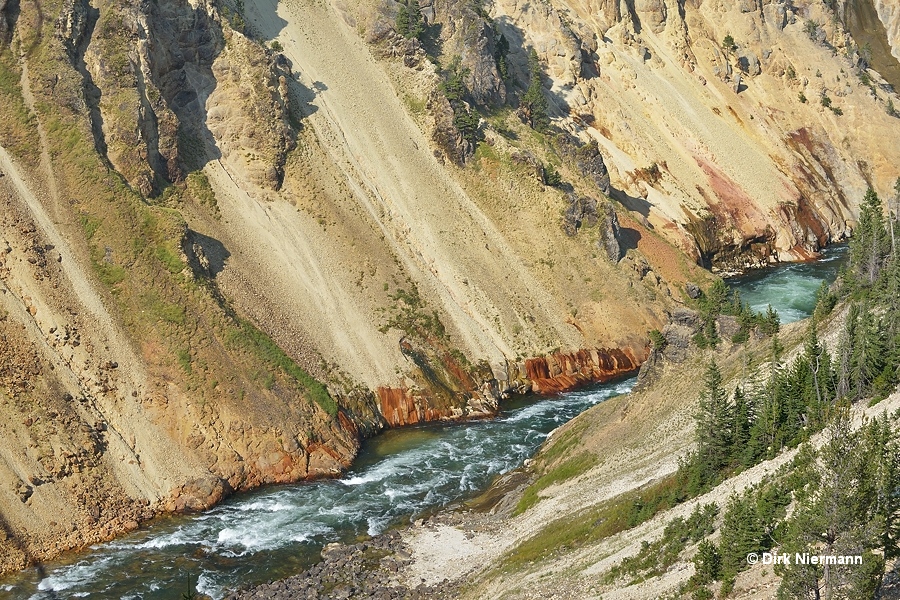
Not far above the water level of Yellowstone River a particularly large number of springs discharge into the river.
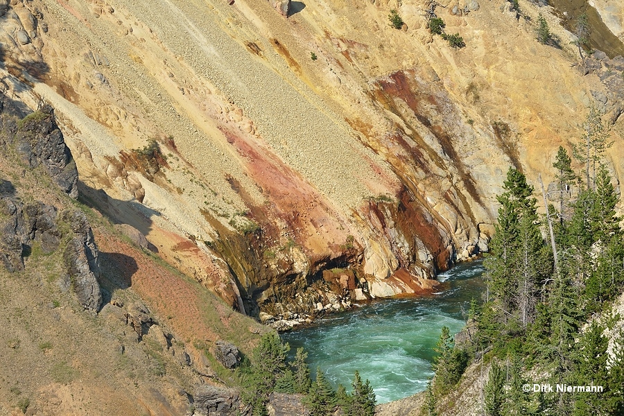
In the further course of Yellowstone River, Artist Point at the south rim is an excellent viewing platform not only for the colorful rock formations but also for geysers and hot springs. Here the walls of the canyon are tightly occupied by thermal features. Approximately 200 m (660 feet) in western, upstream direction a noteworthy group of whitish "iced" cones appears well above the water level. They are known as Upstream Artist Point Geyser. True geyser activity, however, was only seen in the 1930s, thereafter it turned to a weaker, perpetual spouting mode.
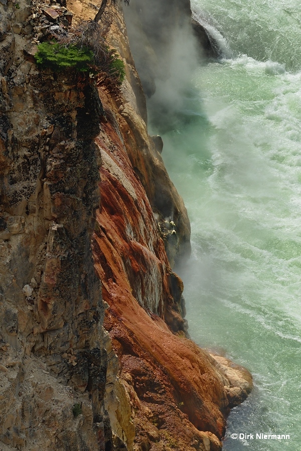
Despite the large distance from the overlook the emission of fine spray is still clearly visible against the dark cliff of the south rim in background. Moreover, all the rock face around Upstream Artist Point Geyser is tinted in deep orange-red by percolating hot water, released from springs upslope of the geyser.
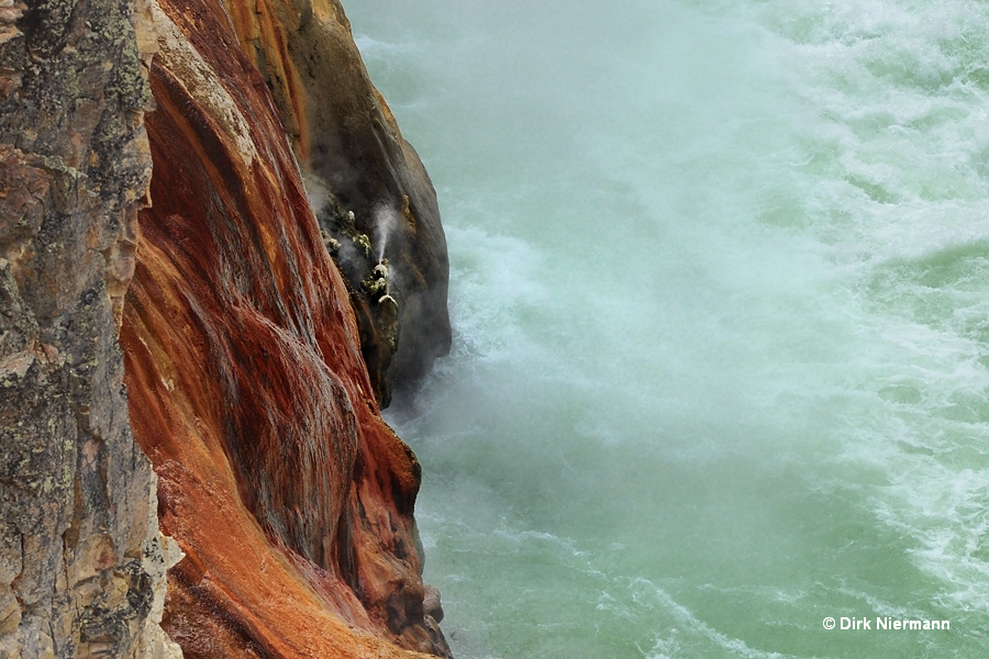
Directly across the river from Artist Point a whole series of hot springs are ranged side-by-side along the northeastern canyon wall, and their discharge water leaves orange, yellow, brown, or white colored marks on the cliff. Sometimes you can spot some vents spouting or steaming.
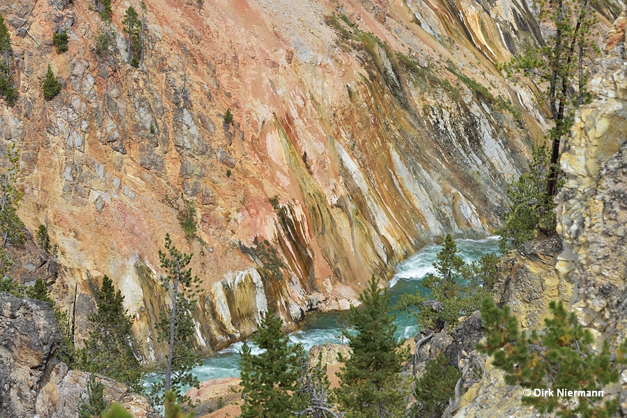
The trail from Artist Point to Point Sublime offers further good views at the northern canyon wall with its breathtaking hydrothermal coloration. Red to pink colors can mainly be attributed to the red iron oxide hematite, while yellow colors in most cases are caused by the iron mineral limonite or by native sulfur.
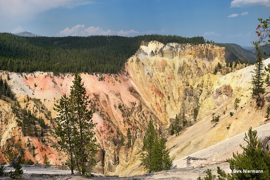
Not only the south rim but also the north rim of the Grand Canyon of the Yellowstone hosts vantage points to observe active hot springs as well as prehistoric, petrified hydrothermal cones and deposits. In the range of Inspiration Point, which bears this name for good reason, the features are particularly colorful and varied.
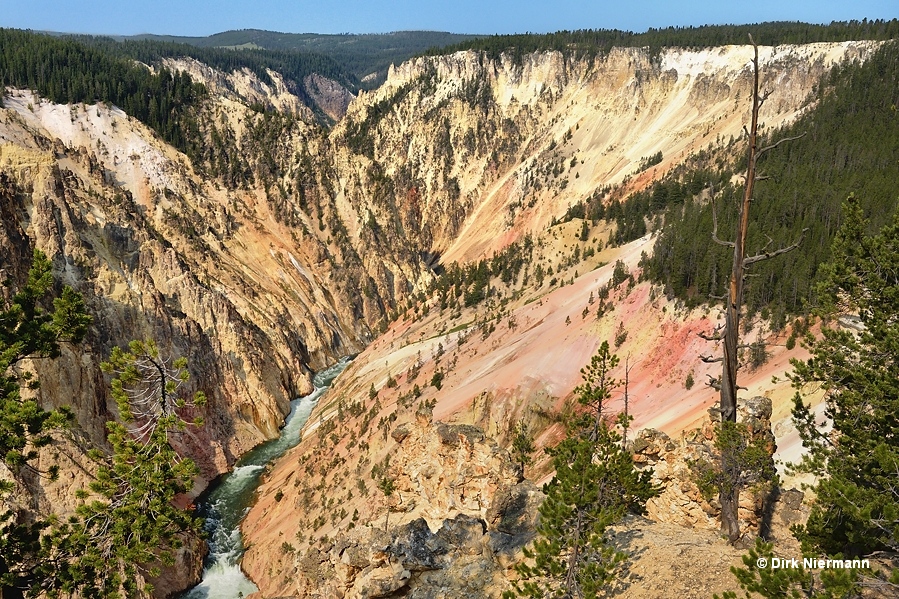
At a rather short distance to the viewpoint exceptionally colorful deposits catch the eye. The intense red and yellow hues are mainly caused by iron oxides, which had been formed and deposited by hot spring activity in a distant past. Erosion processes now grind the deposits to sand and move it continuosly downslope.
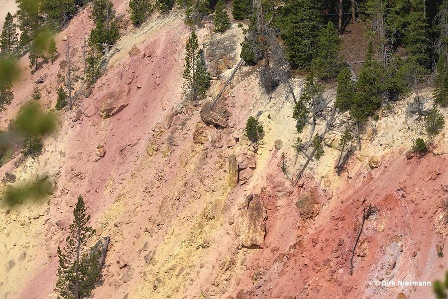
A small group of somewhat larger, still flowing hot springs can be spotted at some distance half way upslope of the south rim. They are located northeast of Artist Point, but are not visible from there. Over the millennia deposits due to the constant flow of thermal waters have smoothened the rock face considerably. This becomes particularly obvious by comparison to the rough slope on the left and on the right side of the chute.
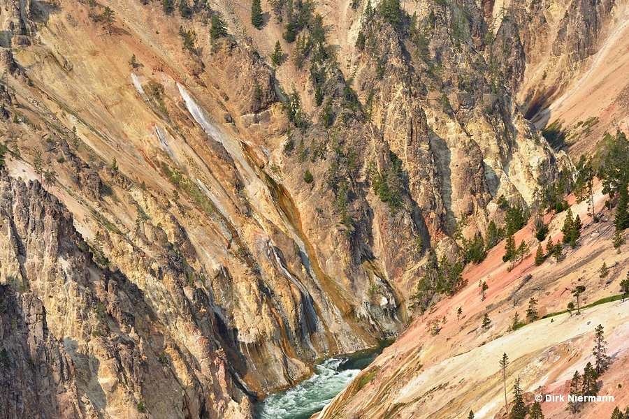
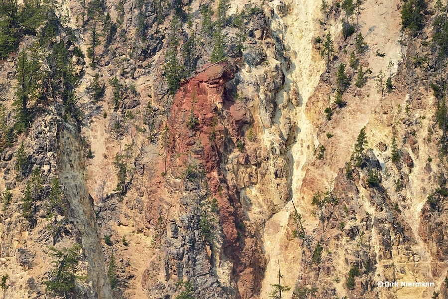
Free standing, petrified hot spring cones, uncovered by erosion, are to be found at several spots along the canyon. Red Rock, mentioned above, is most likely one example, and two smaller, but due to their bright red coloration hardly less conspicuous pinnacles can be seen from Inspiration Point. The smaller one sits in direct vicinity of the hot spring deposits shown above. With a little imagination you may recognize a sitting primeval sentinel whose face is directed towards the canyon.
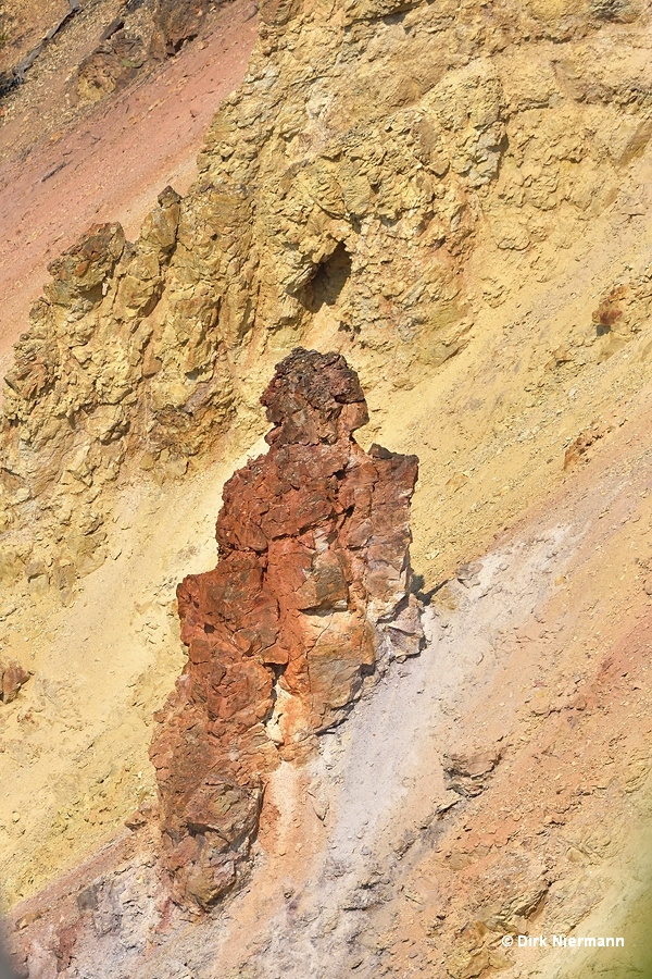
From the trail near Artist Point the scarlet sentinel of the Yellowstone can be seen in the midst of an exceptionally colorful surrounding.
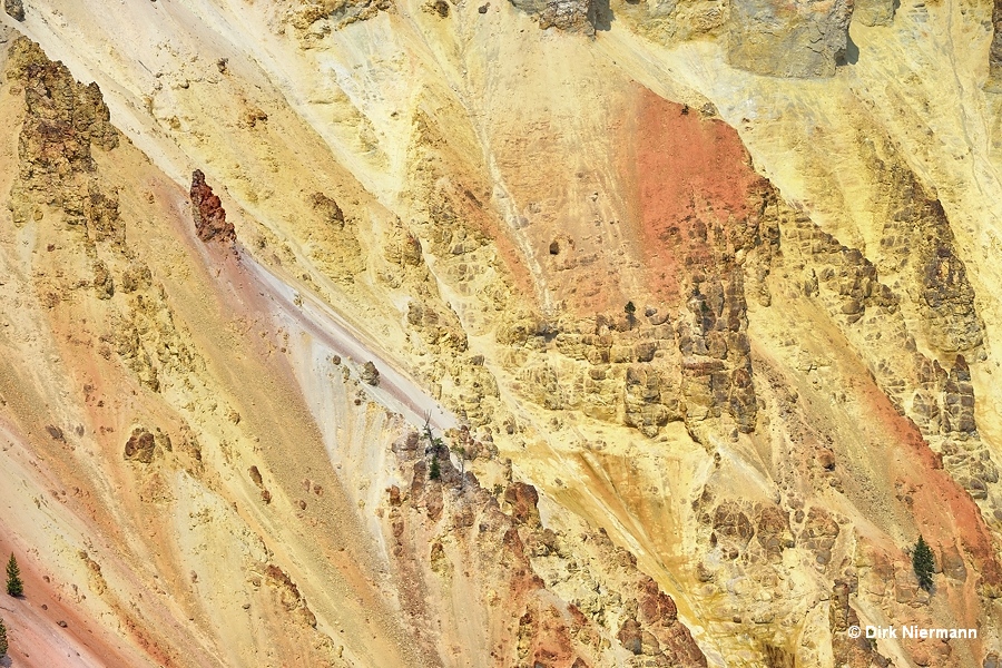
The second hot spring cone is much further away. Attached to the northern canyon wall in vicinity of Artist Point, it shows the most intense red of the three mentioned cones and can be discovered from several view points along the north rim.
On the north rim of the canyon, too, not far north of Inspiration Point, the Seven Mile Hole Trailhead is to be found at Glacial Boulder pullout. The hike to Seven Mile Hole is a 16 km (10 mi) round trip and it passes a few dormant and active hot springs. Some of them may show geyser activity occasionally, Halfway Spring and Safety-valve Geyser even carry names. While the first 5 km (3 mi) of the route are flat and easy, the subsequent descent down the canyon wall to Yellowstone River, especially the final 2.4 kilometers (1.5 miles), is quite steep and also challenging due to loose rocks and gravel. Thermal features appear along the trail after approximately kilometer 6.5 (mile 4).
Another location to observe hot spring activity is the Calcite Springs Overlook above the lower Grand Canyon of the Yellowstone. It is only a few minutes drive from Tower Junction. The name "Calcite Springs" can be traced to the appearance of the mineral calcite in the vicinity of the springs. Similar to Mammoth Hot Springs they deposit travertine (limestone) instead of the commonly found siliceous sinter. The Clacite Springs went dormant in the late 1990s, but returned in 2004.
As with the springs east of Lower Falls, the close-up reveals coloration by iron oxides in different shades. A quite conspicuous feature of Calcite Springs is the discharge of a mixture of hot water, gray sulfur minerals, and black, oily organic fluids into the river. Besides the organic fluids also black filamentous bacteria from the genus Sulfurihydrogenibium have been found in the effluent channels, which prefer pH 6-8 and temperatures between 60 °C and 75 °C (140-167 °F). Even a new species was detected at Calcite Springs, named Sulfurihydrogenibium yellowstonense.
