Leirhnjúkur
After more than 200 years of dormancy a series of eruptions, accompanied by lava flow, took place from December 1975 until September 1984 in an area 1 - 10 km (0,5 - 6 miles) north of the summit of Mt. Leirhnjúkur. These events are called "Krafla Fires" with reference to the "Mývatn Fires" from 1724-1729. Geothermal activity beneath the volcano Leirhnjúkur formed also fumaroles and hot springs along the east slope and near the summit. The features are well accessible by a hiking loop trail, even if the lava field near the summit requires sturdy boots.
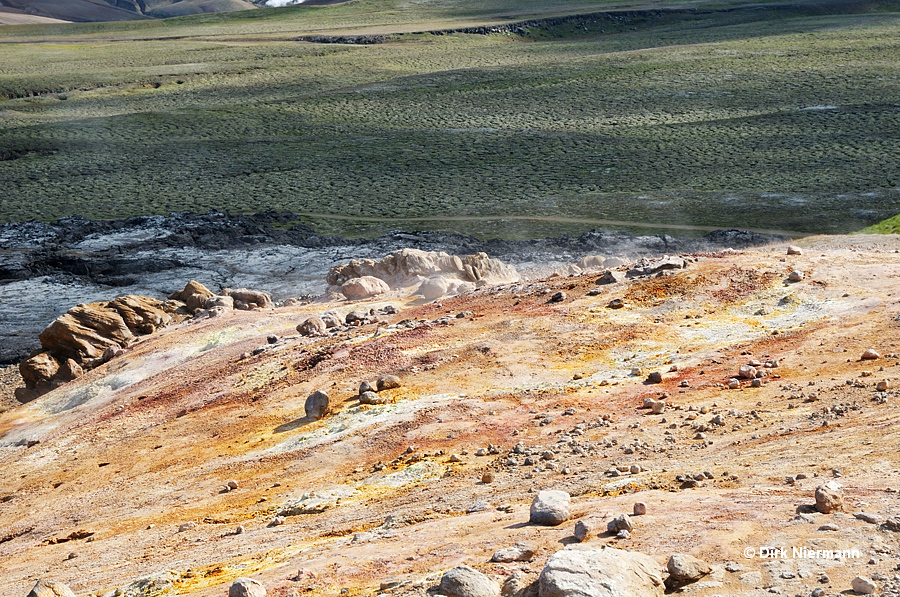
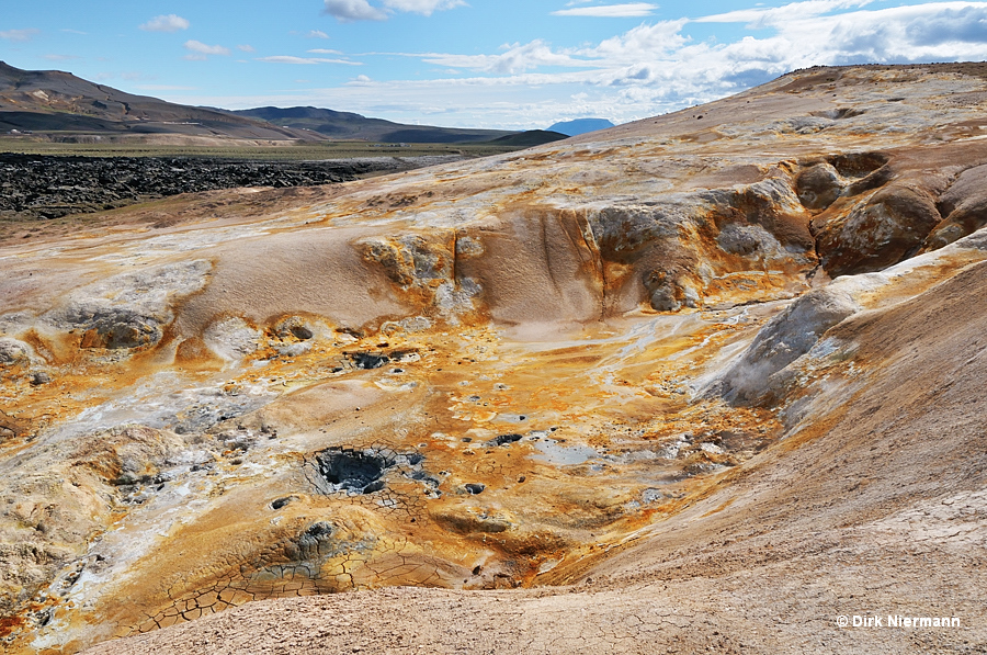
The following picture shows the east slope of the volcano Leirhnjúkur. On the right side black lava fields from the eruptions of 1975 - 1984 are visible. Pale rhyolite ground characterizes areas with fumaroles and hot springs.
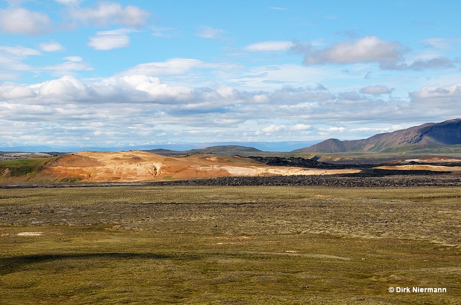
Hiking the trail anticlockwise you first pass two expanded fumaroles with colorful deposition patterns.
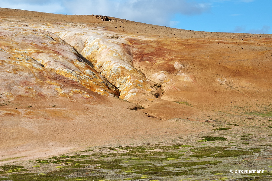
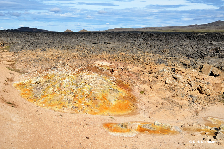
Behind the last fumarole the trail turns left to the observation platform for the largest hot spring complex on location. Popularly called "Sulfur Hot Springs", it resembles regarding its visual appearance very much the thermal features of nearby Þeistareykir. Normally the spring complex is a single muddy hot pool, covering the entire northern part of the depression on the mountain slope. However, during dry summers the water level drops and single hot springs become visible which are feeding the pool. The following pictures show such low level conditions.
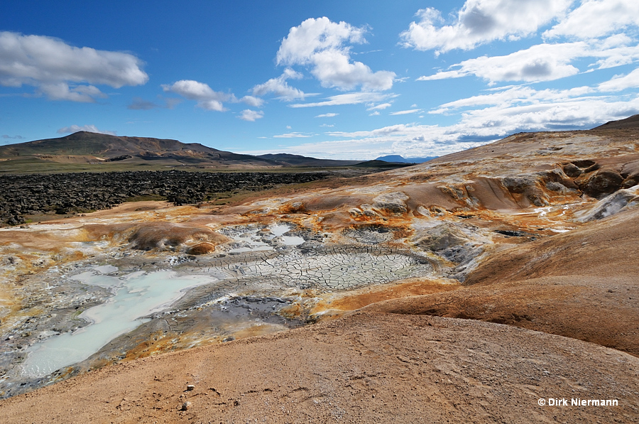
The northernmost hot spring (closest to the observation platform) is bluish clouded by colloidal silica.
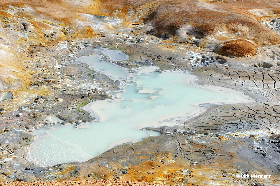
The westernmost one is a typical boiling muddy hot spring.
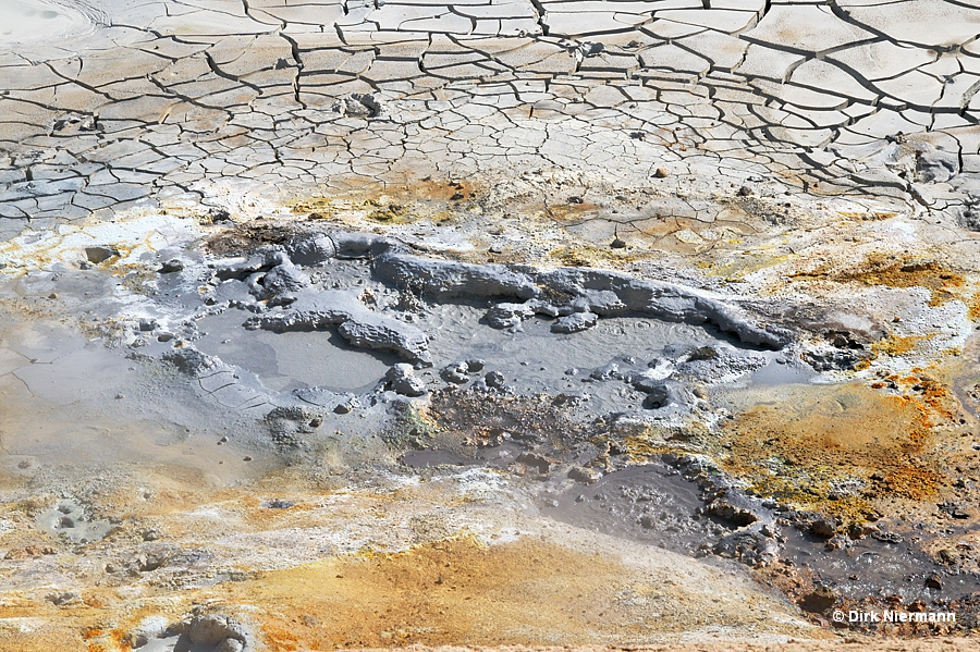
At the east edge another bluish spring appears, exhibiting a fancifully colored topographic profile.
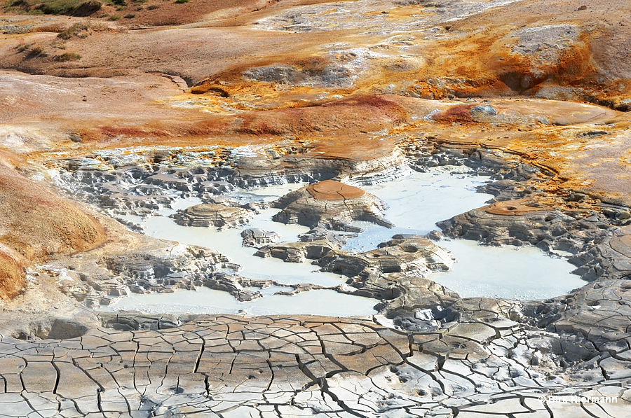
The southern part of the "Sulfur Hot Springs" depression is mainly covered by fumaroles and contains some smaller mud pots and tiny hot springs.
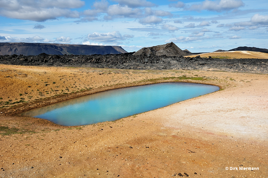
Across the boardwalk from "Sulfur Hot Springs" a remarkably symmetrical, opalescent blue spring attracts attention. Due to its shape it is unofficially called Oblong Hot Spring.
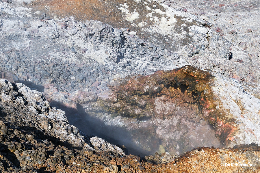
Passing Oblong Hot Spring the boardwalk leads uphill into a lava field where it ends. Further hiking takes place on uneven lava ground. The lava field comprises a huge number of small and medium sized fumaroles. One of the largest fumaroles with a pronounced vent of approximately 1 m across is shown in the next picture.
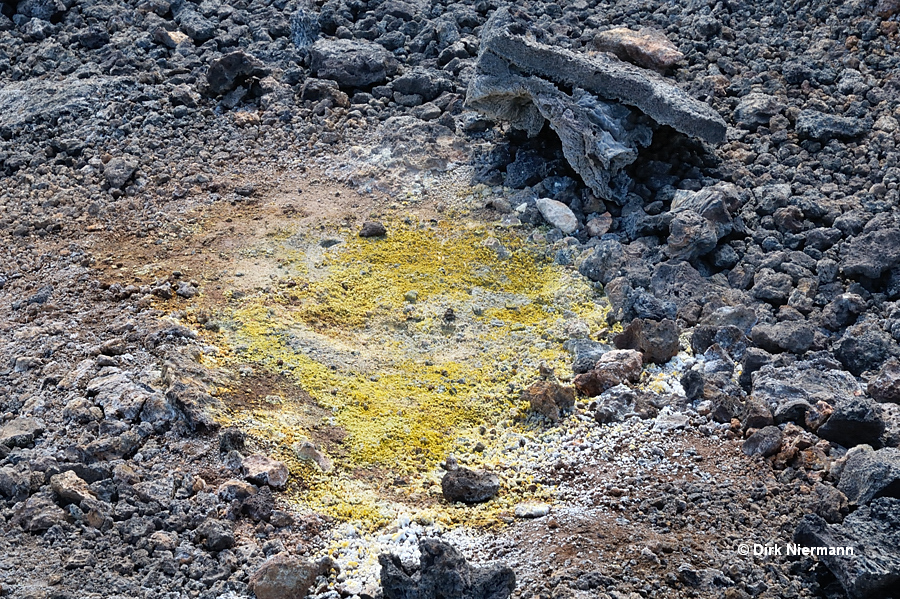
Most of the degassing occurs through the soil in form of typical pinhole fumaroles:
Near the summit of Mt. Leirhnjúkur further fumaroles are located. The most prominent ones are part of the grandiose Krafla panorama view.
