Hverir
Hverir, or in more detail "Hverir austan Námaskarðs" (hot springs east of Námaskarð), can be reached very easily since it is located next to the Ring Road (Þjoðvegur 1). Geothermal features are distributed over of a large, bare plain and the east slope of Mt. Námafjall. The field has been in existence for at least 11,000 years.
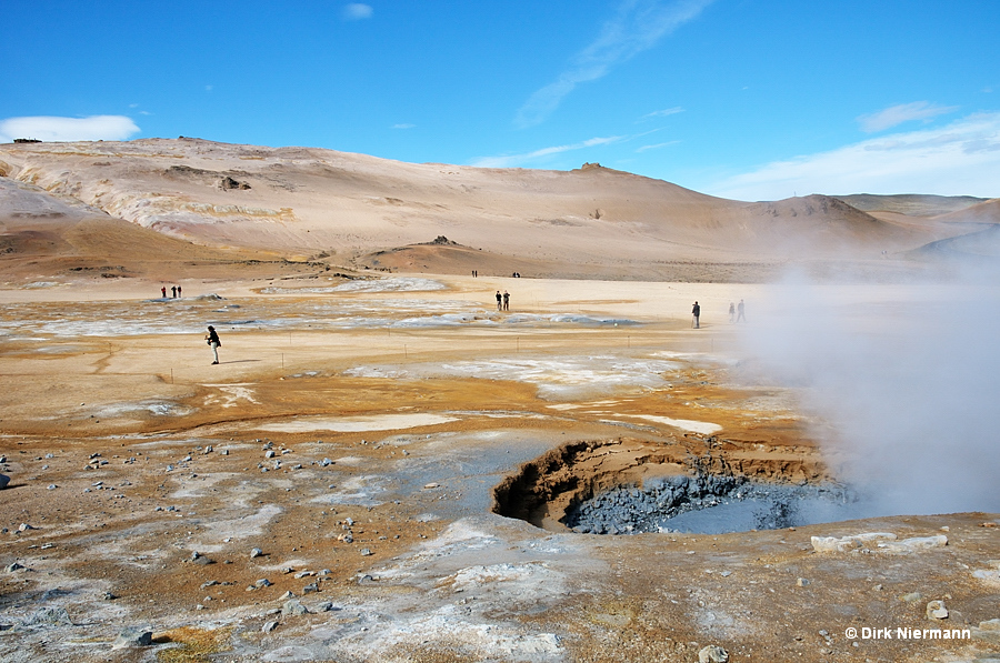
Next to the parking lot an observation platform supplies a good overview. In particular the eruptions of two big mud pots straight in front of the platform perform a magnificent spectacle.
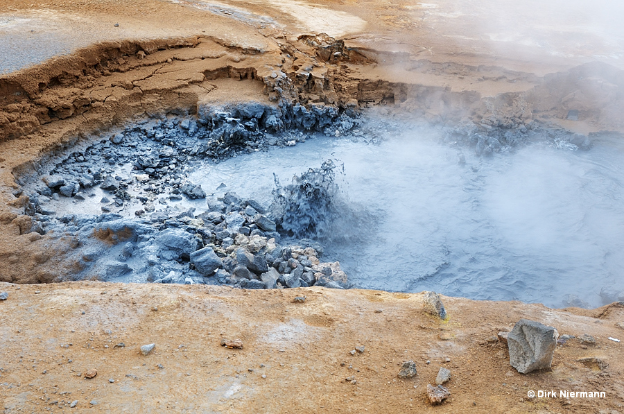
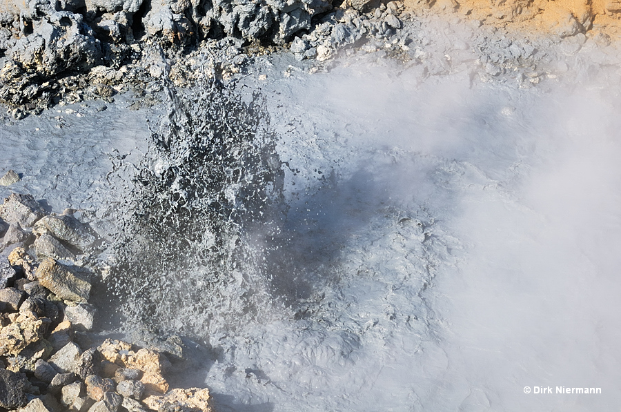
The second mud pot is acting a little bit less vigorously. Gray or bluish-gray colors of the mud indicate the presence of sulfur compounds and acidic conditions.
In case you start your hike on the path to the south, you first reach two big fumaroles. These are two boreholes from the 1950s, drilled along with 14 other wells for sulfur exploration. Later on this two turned into powerful fumaroles and have been covered with boulders.
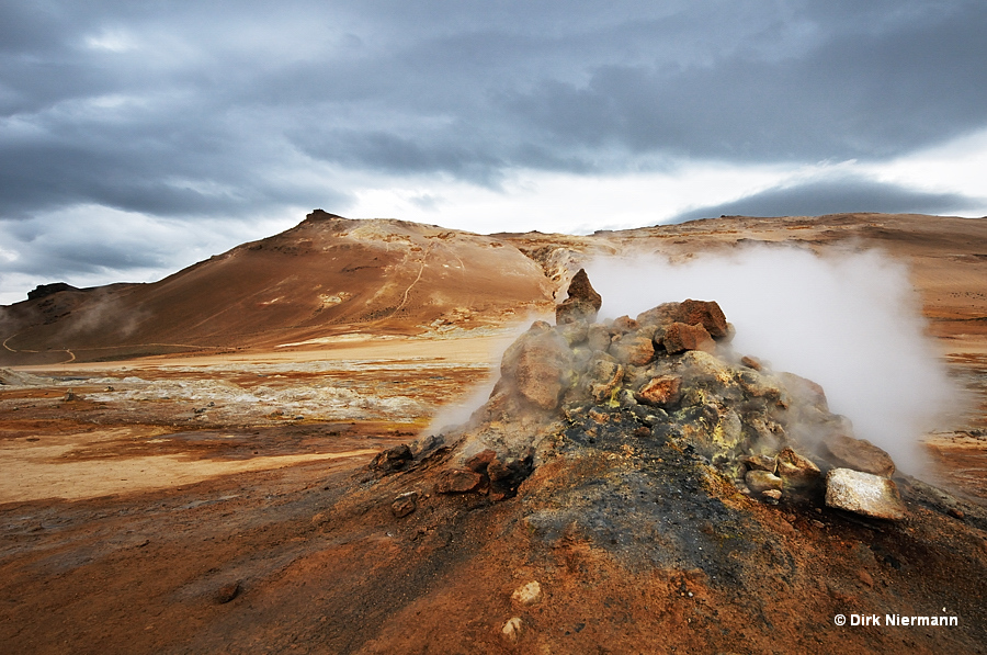
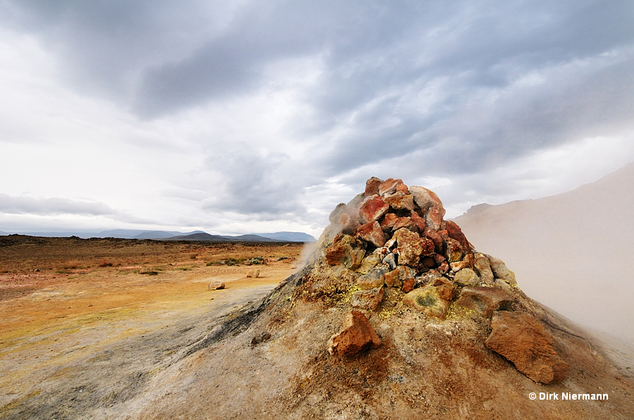
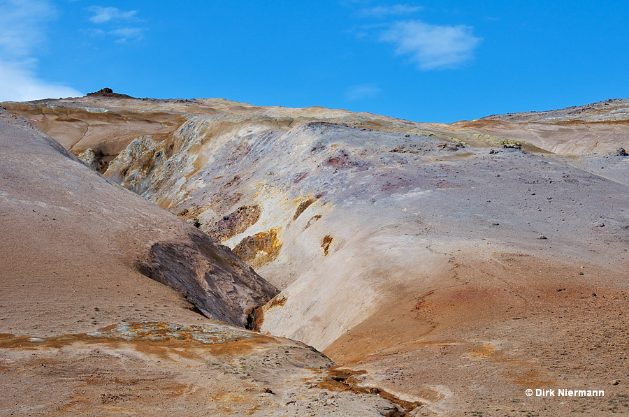
Further fumaroles are located mainly on the slope of Mt. Námafjall and along its base. Often they catch the eye with exceptional pastel colored surfaces.
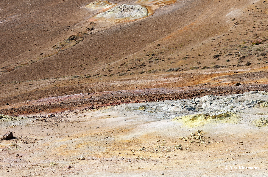
Lined with rocks the next ones are part of an outstanding composition.
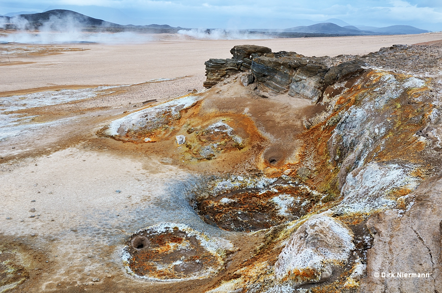
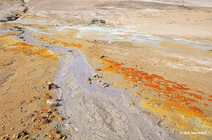
In some sections of the slope, fumaroles and runoff channels generate an almost unbelievable palette of colors.
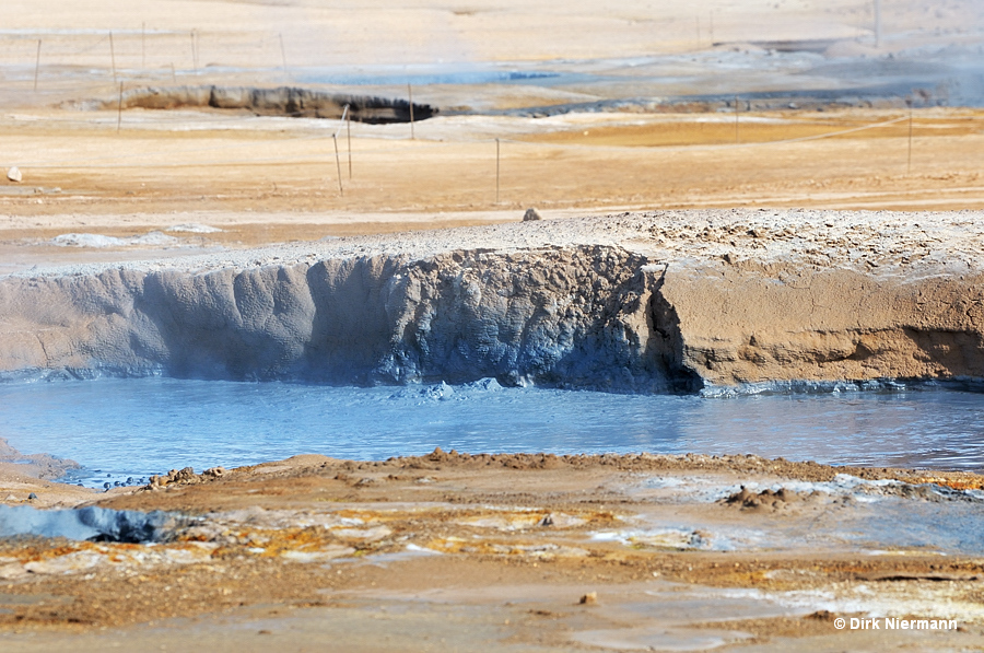
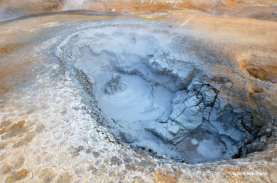
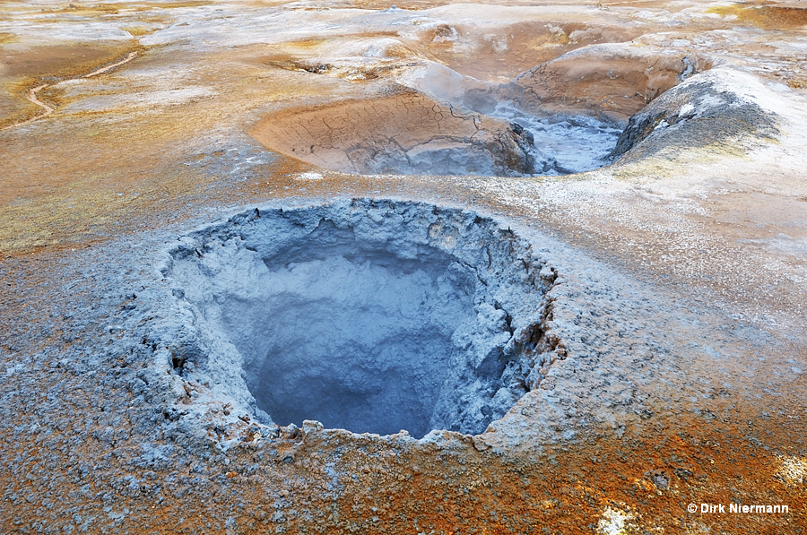
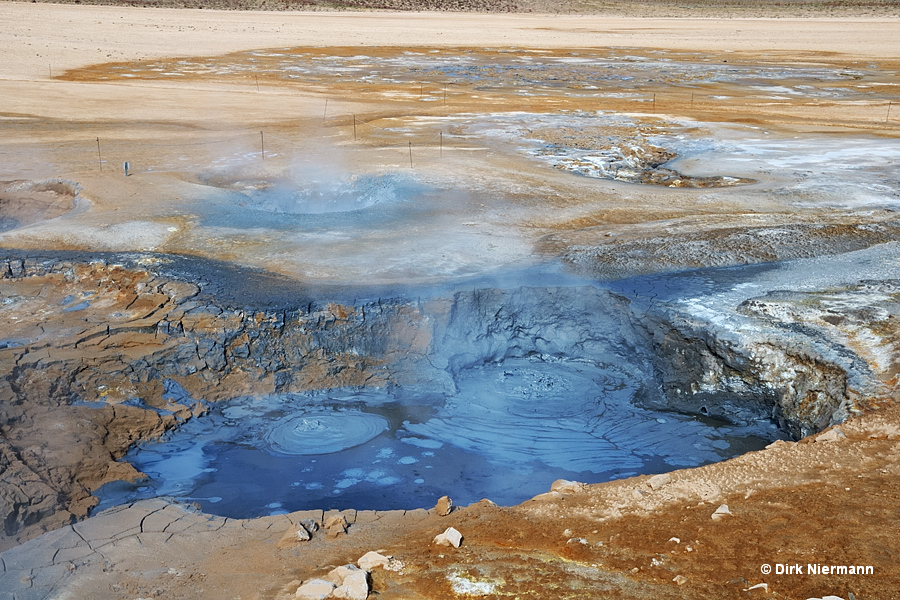
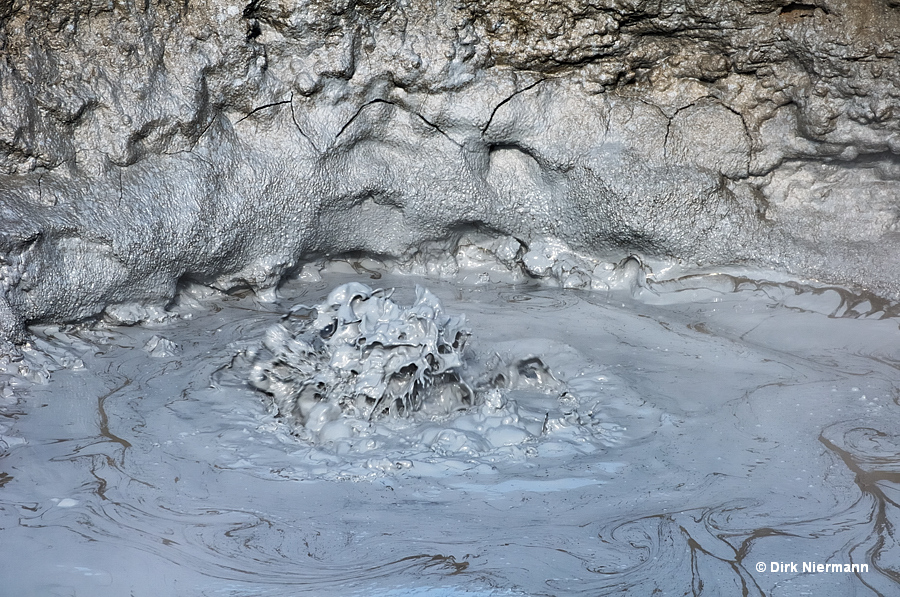
The center of Hverir plain encompasses a number of large mud pots with different levels of activity. Other than that, the mud pots are quite similar in shape and color. Three examples are shown below, more to be found by using the search function.
