Rjúpnabrekkur Group
The slopes and rolling grassland of Rjúpnabrekkur lie north of Hveragerði and extend along the southern foot of Mt. Dalafell. To the west Mt. Dalafell is bordered by a valley called Reykjadalur with the river Reykjadalsá, to the east in a corresponding manner by the valley Grændalur with the river Grændalsá. Grændalur is the eroded remains of a long extinct volcano at this site, which adopted the name of the valley.
Coming from Hveragerði, the first thermal features of Rjúpnabrekkur are to be found on the site of the Reykjakot farm. Amos S. Bazaale-Dolo cites in Geothermal Mapping at Reykjakot in Olfus, SW-Iceland, 1990 the report of Steinþór Sigurðsson, a local, about the formation of Christmas Night Hot Spring. Sigurðsson said that at Christmas Night of 1915 or 1916 the owner of Reykjakot farm heard a rumbling noise and soon the smell of sulfur spread out. The next day he discovered a big crater southeast of the farmhouse and mud and soil lay scattered around, even over large distances. Gradually, the crater filled with hot water and formed a big hot spring about 8 m (26 feet) in diameter and 6 m (20 feet) deep, named the Christmas Night Hot Spring. In the next year a second steam explosion, which could be seen from huge distances, even enlarged the spring. However, Christmas Night Hot Spring was no long living feature and dried up in the 1940s.
Farther north, about 1 km (0.6 miles) from Reykjakot farm up the Grændalur valley, Tomas F. W. Barth indicated the existence of a geyser, at least for the 1930s. Unfortunately, beyond the name Hveramoahver he gave no further information about the feature.
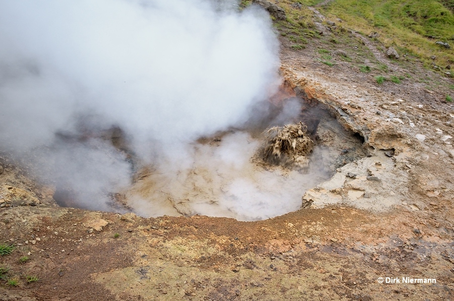
Approximately 750 m (0.45 miles) northwest of Reykjakot you reach the parking lot and trailhead for Reykjadalur hikes. Soon after crossing the river Varmá at the very beginning of the hike the first boiling mud pots appear.

Under construction.