Geysir, Central Group
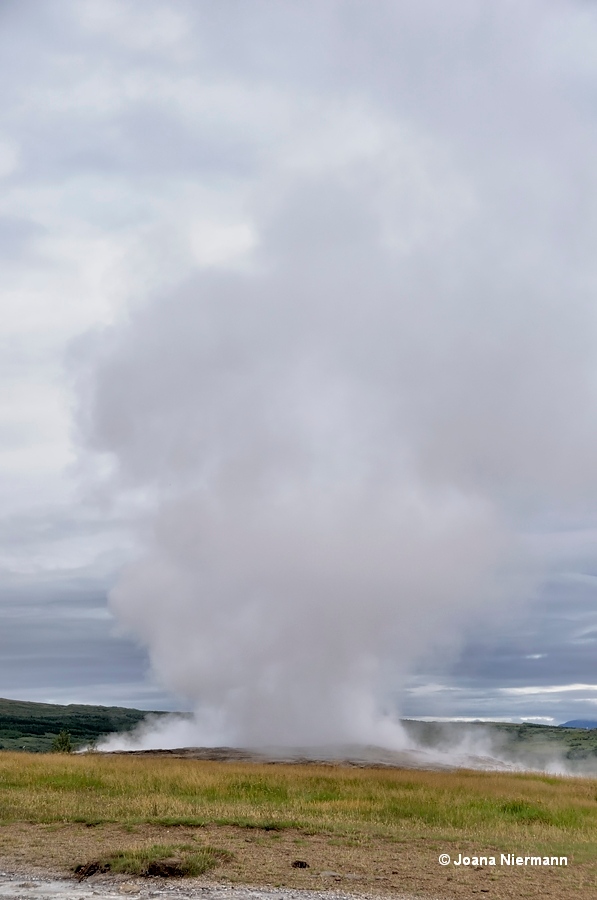
At this point we leave Þykkvuhverir and start with the central group. Walking north to the end of the fence between the campsite and the geyser field, you reach the best position to spot Óþerrishola (non-dry hole), besides Strokkur and Geysir currently the only active geyser of size at Haukadalur. The next picture was shot from that position.
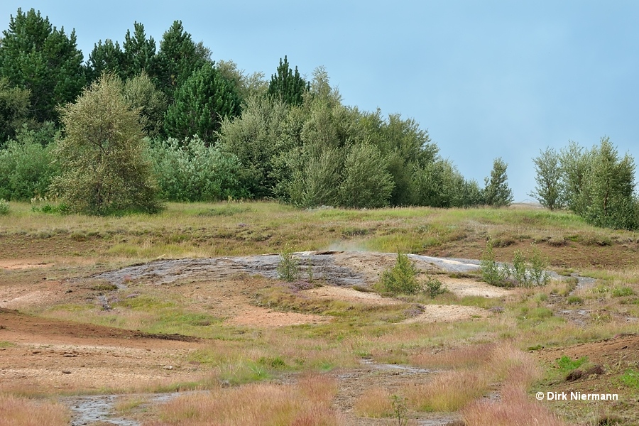
The second picture which required a long telephoto lens due to the huge distance was taken from a spot near Strokkur. Óþerrishola consists of a quite large conic sinter shield with uneven surface and a 25-cm-diameter, but very deep pipe in the center wherein the water level can hardly be seen from the described observation points. Eruptions are rare and the fragmentary information indicate that in recent times the height is 1.5 - 2 m (4 - 7 feet) on average and no more than 3 m (10 feet) in maximum. Tomas F. W. Barth (Volcanic geology, hot springs, and geysers of Iceland, Carnegie Inst. Washington Pub 587, 1950) stated several eruptions a day at an irregular interval, reaching up to 4 m (13 feet) height in the 1930s. Óþerrishola is said to have a higher chance to play if rainy weather approaches and the atmospheric pressure drops. Therefore it is also called "the rainmaker".
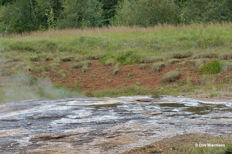
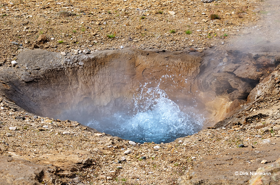
The well-known southernmost spring of the central group is Litli Geysir, located south of Strokkur next to the trail. In the 19th century it played as a geyser, the eruptions up to 10 m (33 feet) high. Since that time it is dormant and only performing as a perpetual spouter with a quite weak splashing.
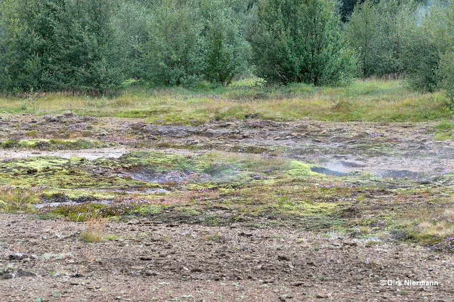
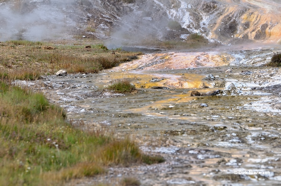
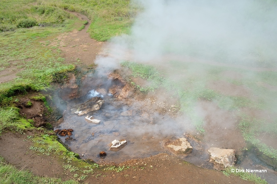
According to the Haukadalur site-map, Seyðirinn (the broth) is a fumarole located not far from Litli Geysir on the north side. Other sources describe Seyðirinn as dormant geyser and spring. However, without leaving the trail neither the one nor the other can be verified, since on location there is not much to see for visitors. Just in case I took a photo of the area. Maybe one of the steaming holes is Seyðirinn.
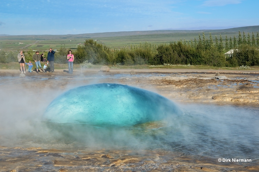
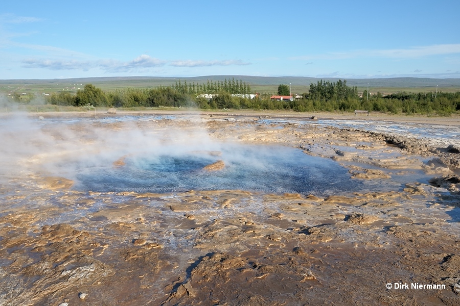
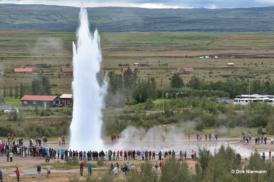
Next feature to the north is Strokkur (churn). Strokkurs deep blue bulbs, prefiguring its 15 - 40 m (50 - 130 feet) tall eruptions, are legendary and hundreds of times shown on the net. After a decline of the eruptions the vent was drilled out in 1963, but Strokkur never reached the heights seen before the 20th century.
Northwest of Strokkur the two Blesi pools catch the eye. However, in the Blesi runoff channel in direction of Strokkur the geyser Fata (bucket) is hidden. The elliptic, beautifully greenish pool with a diameter of 2 m (6.5 feet) was known to respond to earthquakes by violent, some meter high eruptions. Fata ceased to exist in 2004 and a new spring took its place, called Fata II. The remains of the old Fata geyser are impossible to be spotted from the trail, even if the distance is quite short. It is on the bottom of a depression, probably washed out by the Blesi runoff. The two pictures below may illustrate the situation. First the view from Strokkur along the runoff channel is shown, below the view in direction of Geysir.
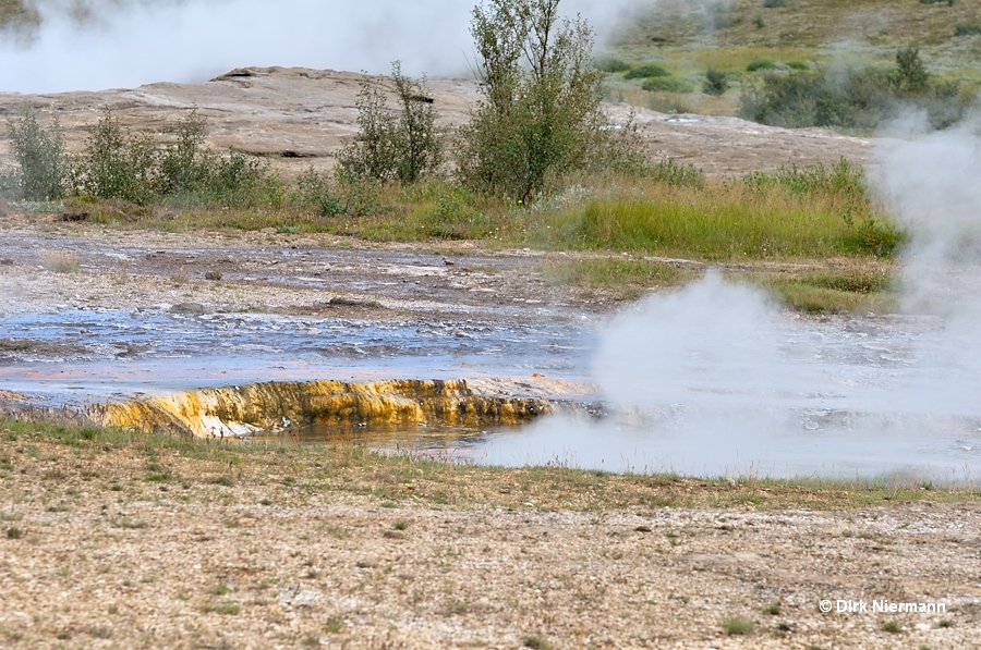
Fata II is a small spring southwest of Fata. Occasionally it sends out small splashes, which can be observed from the north rim of the Blesi runoff channel.
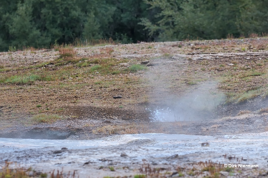
On the southern rim of the Blesi runoff channel a small, quiet spring can be found close to the trail. The spring is unofficially called Aldamòtahver (turn of the century hot spring), since it appeared for the first time in the year 2000.
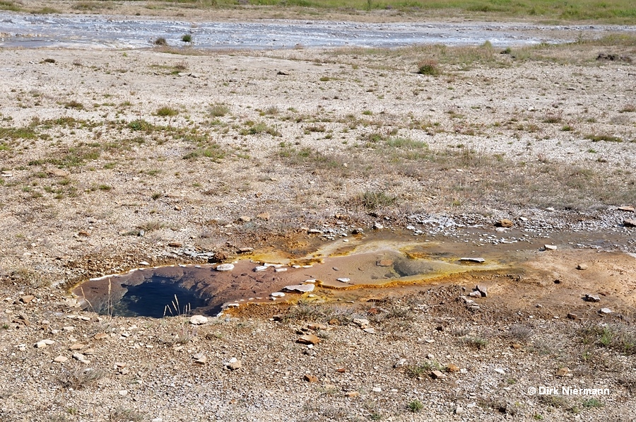
Blesi itself is divided into two pools. The southern pool is fed directly through a clearly visible vent with hot water from the underground. A report from 1897 stated frequent, irregular eruptions of Blesi, whereas later observers found it quiet. After the earthquake of 17th and 21stst June 2000 it erupted up to 1 m high, but the activity rapidly declined thereafter.
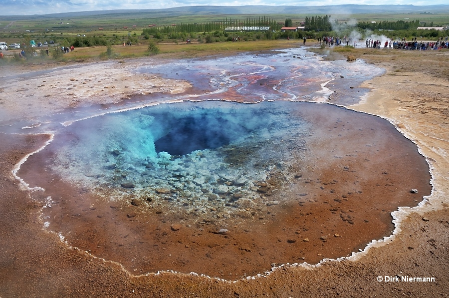
In contrast, the northern pool is separated by a rock barrier from the southern one and only fed from it with overflowing water. Passing the barrier the water cools down and microscopic silica particles precipitate, generating a sky blue color.
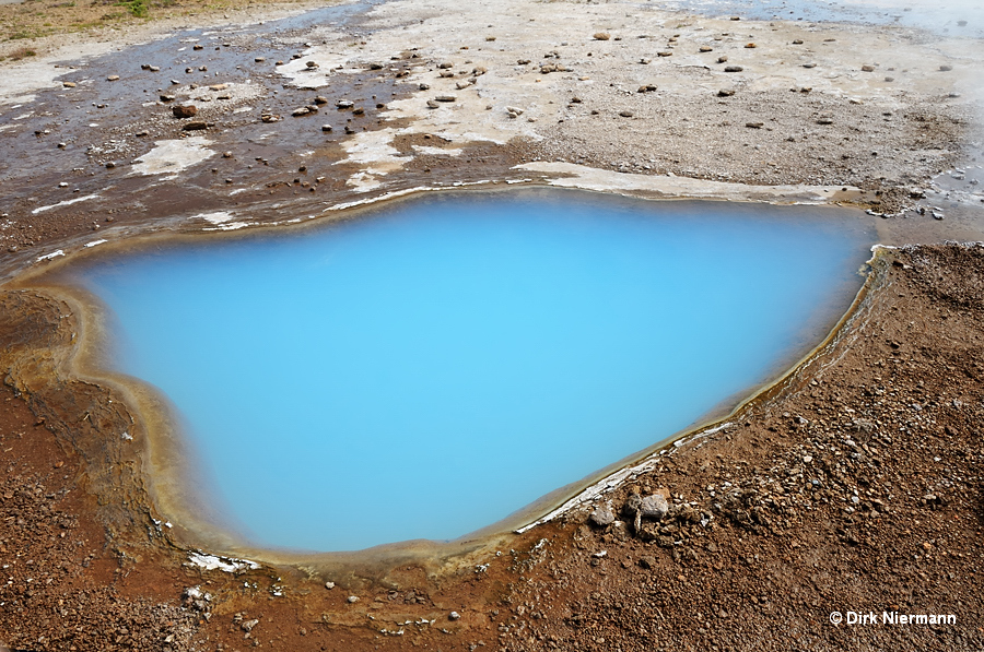
Konungshver north of Blesi is named after the Danish King Christian IX., who visited Haukadalur in 1874. If not clouded by rain the crystal clear water of Konungshver displays beautiful colors. The spring emerged as a geyser after an earthquake in 1896, showing eruptions of more than 1 m (3 feet) height. As with many other geysers at Haukadalur, the activity faded away over time, so the splashes seen in 1897 were only 30 cm (1 foot) tall. Probably this spring could recover as a geyser, even though the large boulders on the bottom may throttle spouting activity. At least smaller eruptions were observed after the earthquake of 17th and 21st June 2000, comparable to Blesi.
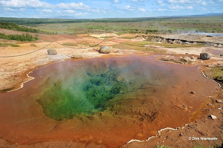
Another named spring is located on the slope below the Konungssteina (stones of the kings), which is called Konungslaugar (bath of the kings). Unfortunately, it is not accessible by trail.
If you continue walking uphill the Laugarfjall volcano and surmount the fence with the help of wooden stairs, you will find the permanently spouting spring Háihver (the high hot spring) to the west.
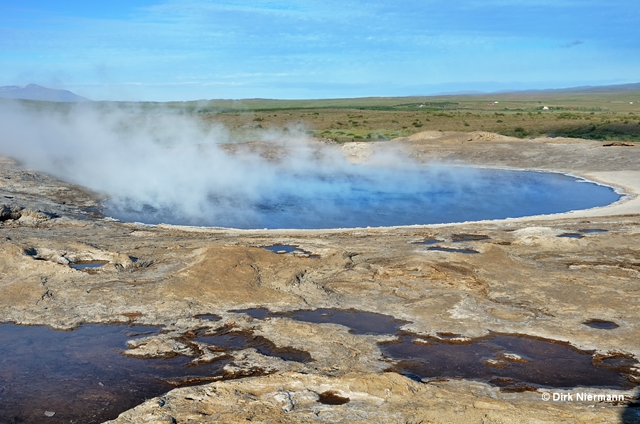
Last but not least Geysir itself has to be mentioned. The first known description comes from a document entitled Oddsverja annáll, published in 1294, but the name Geysir was used for the very first time by bishop Brynjálfur Sveinsson in the year 1647. Often it is called Stòri Geysir (Great Geysir), which refers as well to its historical importance as to the height of the eruptions and dimensions of the pool. There are geysers known with currently taller eruptions, others are more active or predictable, but Stòri Geysir was the first one to be described in the western world and it holds the record for the tallest eruptions of all still existing geysers. At best Geysir may reach heights between 120 m and 170 m (390 - 550 feet). Only the extinct Waimangu Geyser, located in Waimangu Volcanic Valley near Rotorua in New Zealand, was reported for even higher eruptions up to 450 m (1476 feet).
Even in history Geysir had been a rare performer with periods of dormancy. As true for many geysers it is obviously energized by earthquakes, declining slowly thereafter. In 1935 the activity was restored for some years by carving a channel through the sinter cone, which lowered the water level and reduced the pressure of the water column. In 1981 this channel was enlarged and Geysir responded with daily eruptions until the channel was closed in 1983. New activity is seen after an earthquake in 2000, but again it is declining. Currently, you must be lucky to see Geysir playing. Heights typically range between 5 m and 10 m (16 - 32 feet).
Old maps show the position of the now-extinct geyser Stjarna (also called Ástarauga) approximately 50 m (160 feet) northwest of Geysir's bowl. The earthquake of 1896, which brought Konungshver into being, also formed Stjarna. During the years after the quake it played as a geyser frequently up to 3.5 m (11 feet) high, however, at an irregular interval. Thereafter, its trace disappeared and today the crater is obliterated.
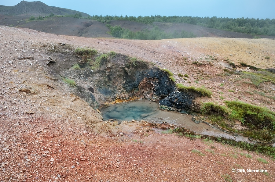
Looking east from the Geysir observation point, a steaming hole with black walls can be spotted. Unfortunately, no official trail leads to the related spring. This is a pity, because the spring is not only very attractive, but also has an interesting story to tell. Only by chance we managed to join a small group of people from the Geysir Hotel. They carried dough for bread and eggs to the spring. Indeed, the spring is used to cook eggs, and in the nearby hot soil the dough is buried for 24 hours to bake the famous Rúgbrauð (geyser bread). Simply (and unofficially) the spring is called Kitchen Hot Spring.
Farther east of Geysir there is a newly formed hot spring named Rauðgrani, which is not accessible to visitors.
Some more hot springs can be found in the surroundigs of Laugarfjall volcano outside the fenced Geysir area. Volguflóð, Vesturrot, Austurrot and Teigur are quiet hot springs located in grassy wetland southwest of Geysir Hotel. Bæjarlaug lies directly at the highway 35 west of Geysir Hotel. Marteinslaug and Kúalaug are quiet hot springs northeast of Mt. Laugarfjall.