Laacher See Vulkan
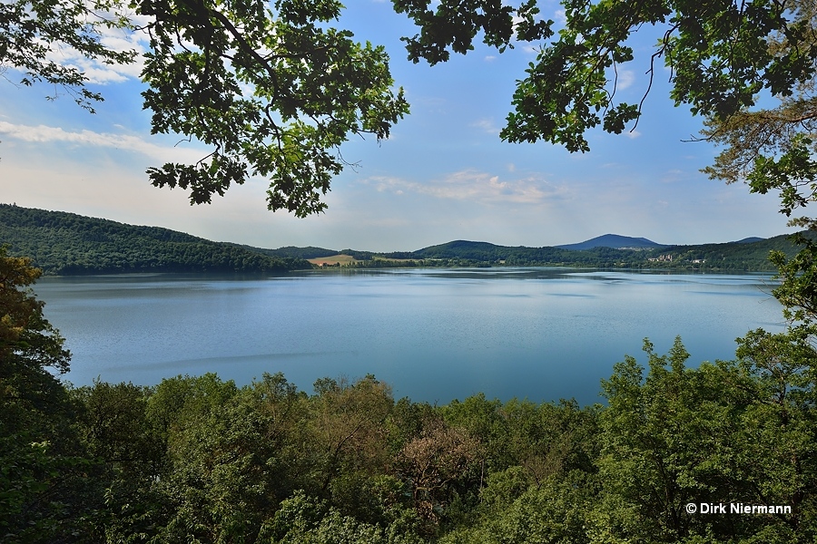
Located on the eastern fringe of the Vulkaneifel, the Laacher See was the last active volcano in the region. Probably its oval basin with a diameter of 2 km (1.2 mi) and a depth of 50 m (170 feet) is a volcanic caldera, formed by the collapse of the emptied magma chamber after the eruption. The only known eruption of the Laacher See Vulkan (Lake Laach Volcano) took place around 12,900 years before present and was of Plinian style. Those eruptions are characterized by columns of volcanic debris and hot gases ejected high into the stratosphere. Volcanic ash from the eruption can be found in northern direction all the way to Sweden, in southern direction to northern Italy.

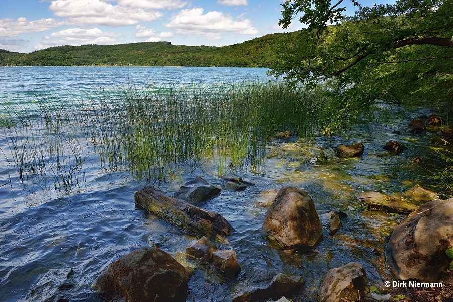
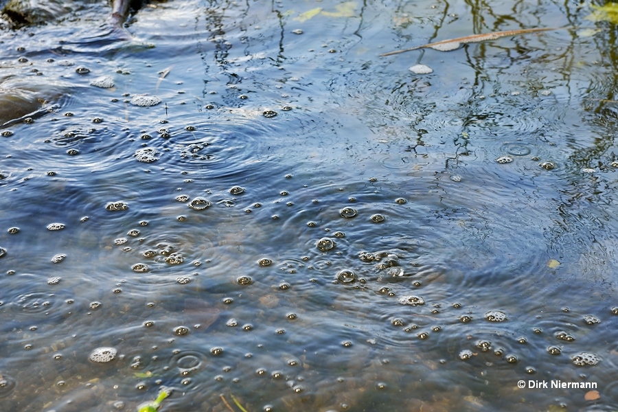
There is some evidence that in the depth a magma chamber is still present. In particular at the east shore of the lake mofette emit a steady stream of cold carbon dioxide gas, which has been released by magma before. The emissions are easy to observe in shallow water near the edge of the lake, but they do also occur on dry ground.

The mofette show up directly adjacent to the hiking trail, in addition their position is indicated by a board which also provides some useful information. However, you have to come close to detect the tiny, sparkling openings on the ground.

Further evidence of continuing volcanic activity comes from the observation of deep low frequency earthquakes (DLF) beneath the Laacher See in the period from 2013 to 2018. They were too weak to be recognized without proper equipment and occured at depths between 10–45 kilometers (6-28 miles), thus ranging from the earth's crust down to the upper mantle. These earthquakes may hint at ascending magmatic fluids which slowly refill the magma chamber of Laacher See Vulkan. Although its last eruption took place more than 10,000 years ago and therefore, by definition, the volcano is regarded as inactive, most experts are convinced that it is only dormant. However, on the base of currently available data an estimation of the time to the next eruption is not possible.